|

|
|
|
|
|
|
|
|
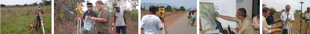
MDVIA provides a unique service of escorting seismic acquisition projects. MDVIA offers seismic and oil exploration companies a land surveying crew who takes the position of a geodetic staff for the seismic party. The service is supplied from the pre-operation stage until final data delivery.
|
|
|
|
|
|
|
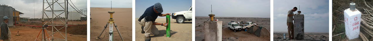
MDVIA uses the latest GPS equipment and software to establish Geodetic networks that serve as a basis for any field project that requires precision and accuracy. Our Land Surveyors also specialize in creating and improving geodetic networks for national projects worldwide.
|
|
|
|
|
|
|
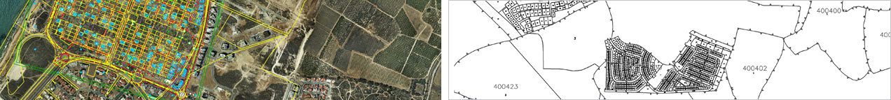
MDVIA provides all cadastre related services, such as legal issues and location and bounds matters, as well as editing, accompanying and preparing cadastral plans. Our cadastre department, composed of geodetic engineers and law experts, possesses a unique expertise in land registration and administration, following many years of experience in land ownership management at various levels – from state to private lands. This team uses its experience and capabilities in the technical aspects of handling complex cadastral plans, together with digital GIS technologies, to offer professional and reliable services.
|
|
|
|
|
|
|
MDVIA offers a high quality service for monitoring land surveying works and products, specializing in projects such as tunneling, bridging and train lines. MDVIA has rich experience in establishing Geodetic QA systems that give our customers a clear and real-time picture of their project's condition, guaranteeing that its topographical accuracy complies with the relevant requirements and obligations. The customer receives both a methodical report as well as accuracy report during the project.
|
|
|
|
|